
Ode To Oceanography: An Antique Chart of Tokyo Bay
- The Persaud Foundation

- Apr 15, 2025
- 3 min read
In today’s article, we are going to discuss an Antique Nautical Chart of Tokyo Bay. This map comes courtesy of Maps Of Antiquity, an antique map shop in New England.
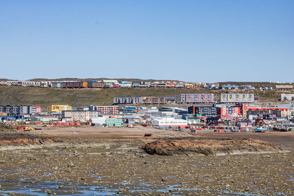
Tokyo Bay is a bay located in Japan’s Southern Kanto Region, & is named after the city of Tokyo. The bay is very large, stretching to Tokyo in the North, & Yokosuka in the south. It is one of the largest industrial areas in all of Japan, & one of the most populous areas as well.
In this article, we are going to delve into the contents of this map, its maker, & what it was made or originally used for. With that being said, let us delve into the serene waters of Tokyo Bay.
The Chart Itself

This map spans the entire area of Tokyo Bay, as well as the Uraga Channel which connects the bay to the Pacific Ocean. It depicts various seaways both in the bay & near the bay. The bay is officially referred to as “Yedo” Bay on the map, as the name of the bay wasn’t changed to Tokyo Bay until the mid-nineteenth century, as Tokyo was referred to as Edo before that. Names of various coastal cities can be seen, such as Tokyo, spelled Tokio, in the North. The map is uncolored, & is a pristine white & grey color. It is incredibly accurate as well, only missing a few cities.
There are 3 small compasses around the map, in the lower right corner, upper middle area, & central right area respectively.
The chart is approximately 26 inches wide & 38.5 inches long.
An Analysis Of The Chart & Its Contents
This map was made in 1889 by the British Admiralty. It was likely made in the mainland United Kingdom in a major city such as London, from data collected by British sailors in Japan. As it was made by the British Admiralty, it was likely used for militaristic purposes. Considering the time that it was made, it was likely made using Lithography.
The lithographic method was one of the most popular map-making methods between the early 1820s, & the 1910s. In the lithographic method, the artist will draw directly onto a printing surface, such as zinc, or copper, until they are satisfied with the drawing. After this, the surface will be covered with a chemical etch, which will bond it to the surface. With this process, the blank areas will attract moisture to the plate & repel the lithographic ink, while the areas that are drawn on will hold the ink. Water is then wiped onto the unpainted areas to help prevent the ink from deviating. After the map wanted is inked, the paper is laid over it & covered with a tympan, & the tympan is pressed down. Finally, these materials pass through the scraper bar of the litho press. Afterward, an exact copy of whatever was supposed to be printed is revealed.
Directories / Credits
All credit for this map analyzed today goes to Maps Of Antiquity, a wonderful New England map shop. To purchase this map, any other maps, or any other cartographic objects, please visit mapsofantiquity.com. To be clear, this is not an advertisement for Maps Of Antiquity, as we do not have a partnership with them.
Strategic Partnerships
Reel Guppy Outdoors
SharkedSkooler
Marine Enthusiasts Podcast
STEMScribe
Tides of Tomorrow
Our Loyal Patrons
P. R. Ochoa


Comments